Leeds planning matters
Leeds has a rather split personality, environmentally. On the one hand, there is seemingly boundless energy for tackling the big issues of climate change and active travel; on the other, new housing development seems to be locked into two extremes – high-density, high-rise inner city flats, and low-density, road-hungry estates on peripheral greenfield sites. The missing ingredient, in ‘planning speak’, is placemaking. A city of Leeds’ size and stature needs dense, mixed, vibrant neighbourhoods interspersed with many green spaces.
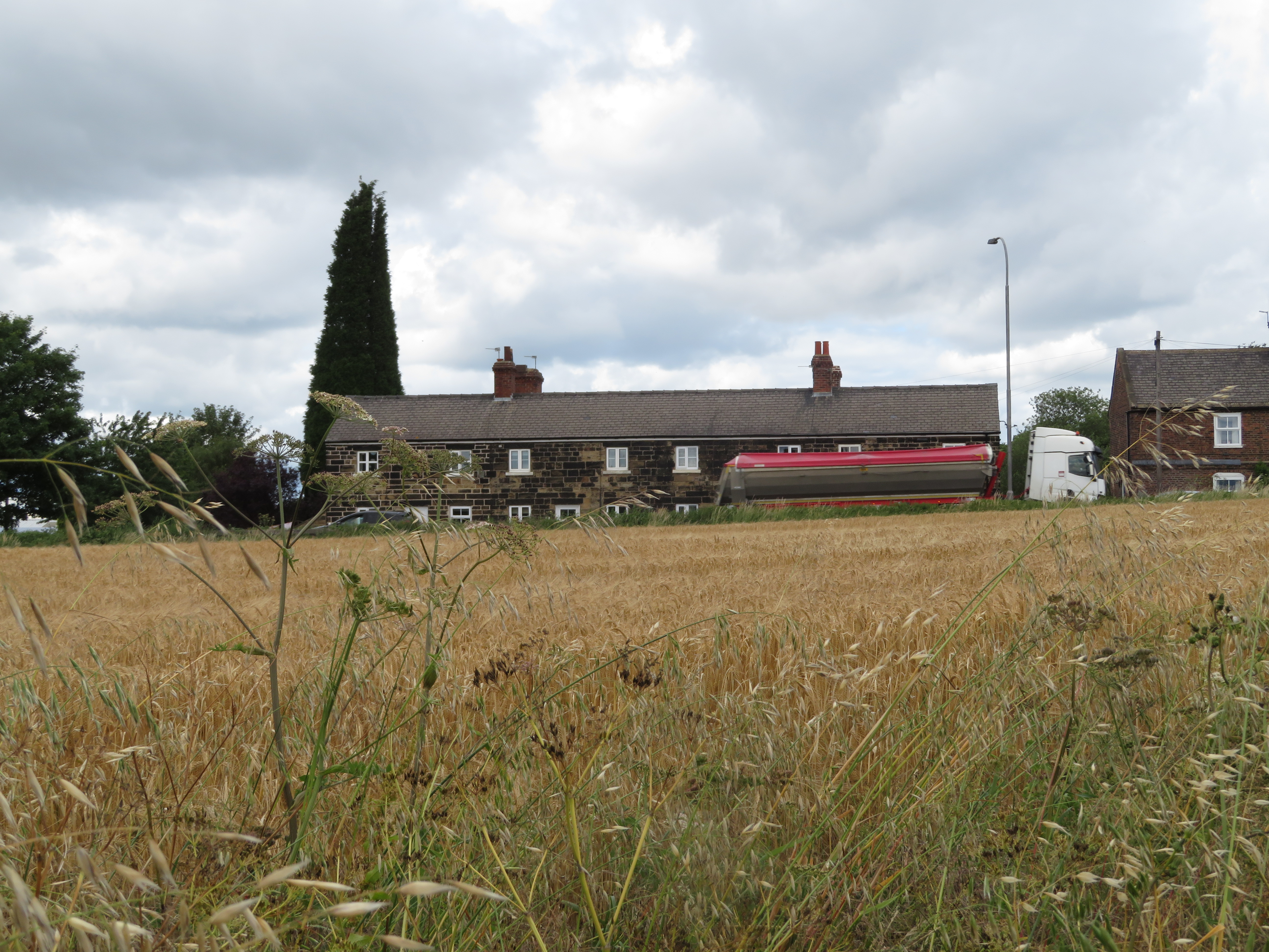
A clockwise tour of Leeds’ countryside begins with stately grandeur Harewood House and heads east along the River Wharfe to Wetherby, a town confronted with a scale of housing growth wildly at odds with its poor public transport links and almost total car dependence. Further east is the run-down Thorp Arch Trading Estate, where a new settlement might be workable, were it not for Dr Beeching having long since unplugged it from the rail network. A few miles south, the threat of an even more unsuitable new settlement still hangs over the peaceful, wooded estate of the former Parlington Hall. CPRE has been helping local communities fight these ill-conceived schemes for several years now.
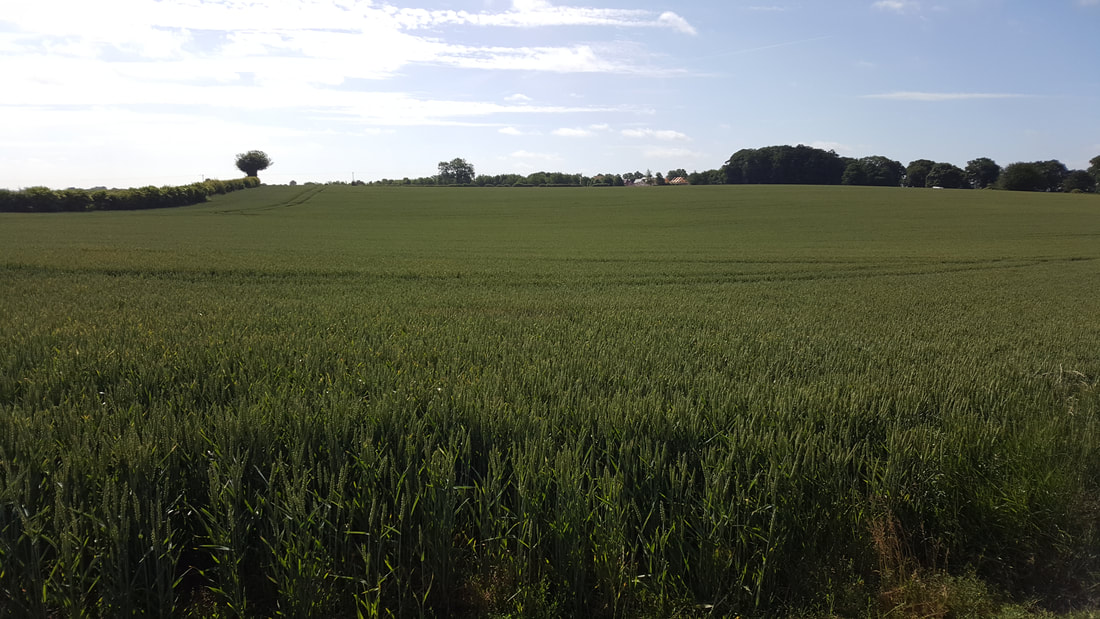
The M1 corridor in east Leeds brutally bisects an amazingly varied landscape. There are the glorious, decadent landscaped gardens of Temple Newsam Hall, and the dramatic southward view from Garforth opening out towards the River Aire floodplain. This stretch of river, previously the scene of extensive open-cast mining, is now a fantastic chain of RSPB nature reserves at Swillington and Fairburn Ings – an important reminder that brownfield land can sometimes gain great environmental value.
Heading west, along a scenic stretch of the Aire & Calder Navigation, we are then squeezed tight against the motorways that dominate all remnants of countryside between Rothwell, East Ardsley and Morley, although Middleton Park is a success story for urban green space in an area of social deprivation. At Drighlington, we burst out with great relief into the Tong Valley, a genuine ‘green lung’ between Leeds and Bradford. Sadly, this wonderful place is also under threat from the South-East Bradford Link Road, hopefully, a dying breed of road-corridor proposals with no place in the low-car future that West Yorkshire must pursue if it is to rise to the climate challenge.
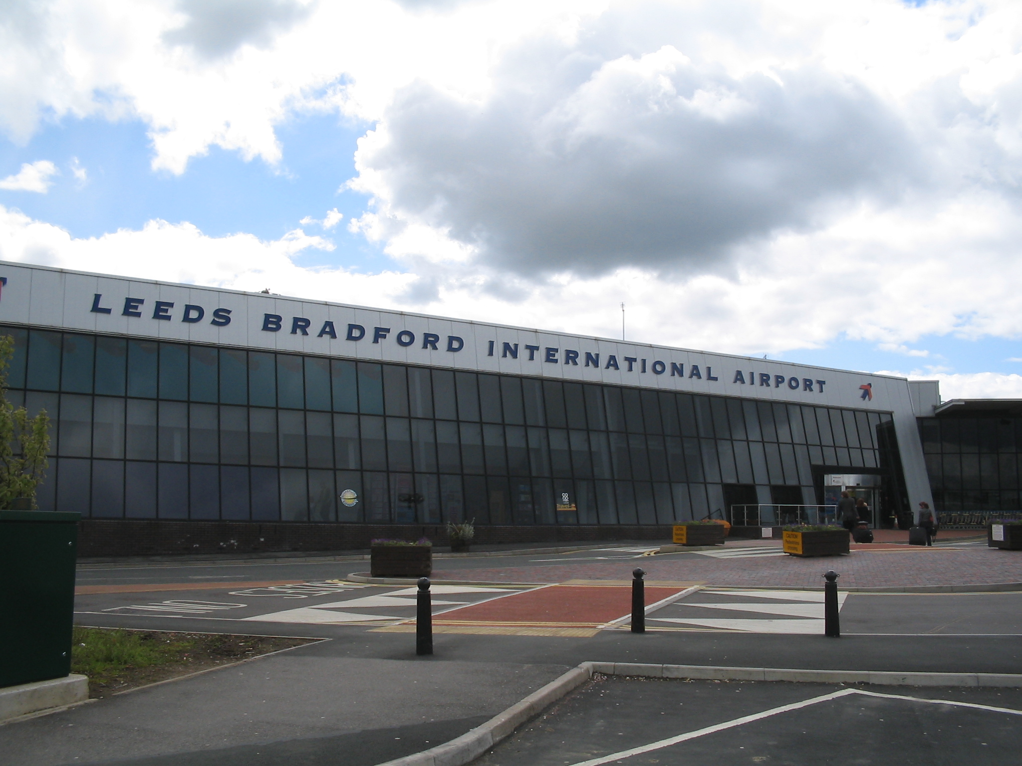
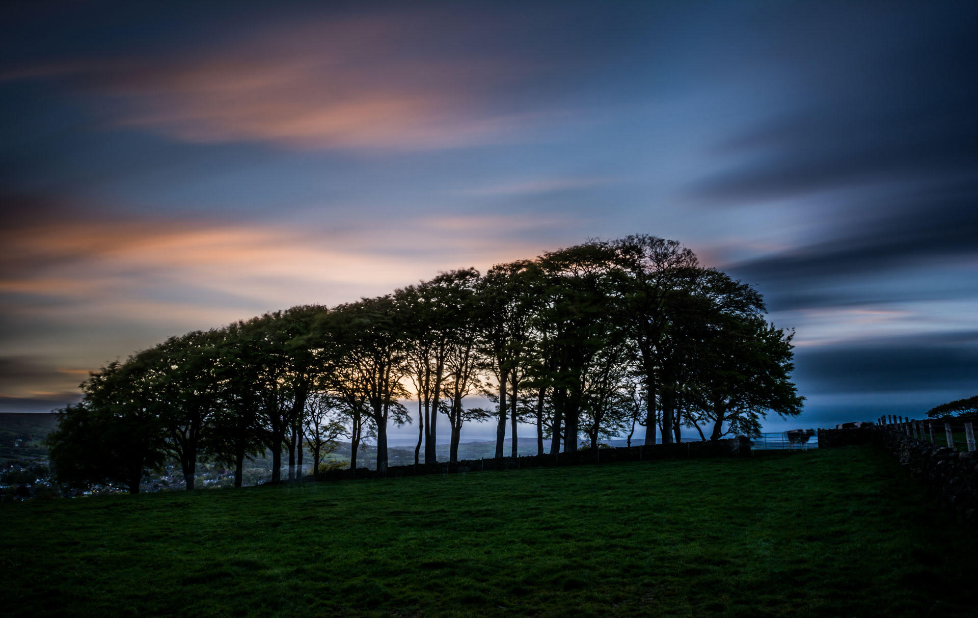
The Green Belt gap between Leeds and Bradford has already been breached where Pudsey merges with Thornbury, but north of there, we return to the banks of the River Aire and the Leeds-Liverpool Canal at Calverley Wood. Here the Leeds countryside divides – a westward finger heading up the Aire to Esholt and Guiseley and onwards to the South Pennine Moors; and a northward finger rising up past Yeadon and over Guiseley Moor to meet The Chevin, a dramatic east-west ridge that we must cross to reach Otley. Although someone did put a rather large airport in the way.
Leeds local plan timeline
August 2025
The Issues and Options consultation, which outlines the key challenges and opportunities for the city runs until 15 September 2025. Find out more about the Leeds local plan consultation↗
March 2025
The emerging local plan will cover 01 April 2024 and 31 March 2042, with an anticipated adoption during 2027. Consultation is likely to be held between late June and September 2025. Find out more about the Leeds local plan latest news↗
Feb 2023
Leeds announce the Local Plan 2040 consultation (Friday, 10 February until Friday, 24 March 2023). Find out more about the Leeds local plan 2040 review here↗
July 2020
Planning legislation requires that local plan policies should be reviewed at least every five years to see if they are still current or need updating.
The first five-year local plan review↗ was published in July 2020.
Leeds planning links
Information on Leeds City Council’s local plan
https://www.leeds.gov.uk/planning/planning-policy/adopted-local-plan↗
Search for current planning applications
https://www.leeds.gov.uk/planning/planning-permission/view-and-comment-on-planning-applications↗