Bradford planning matters
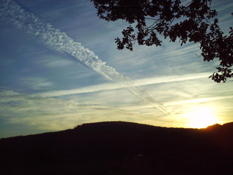
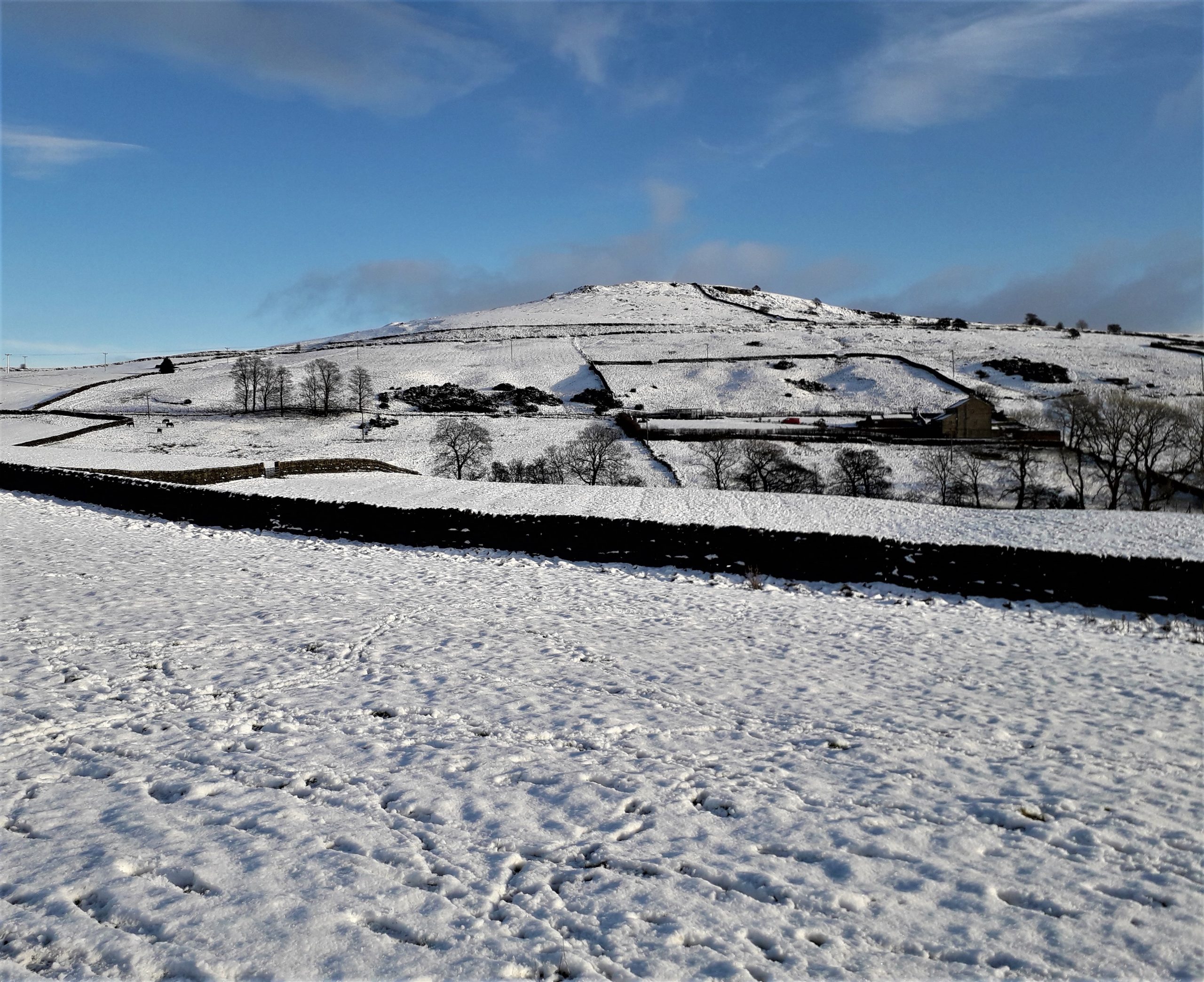
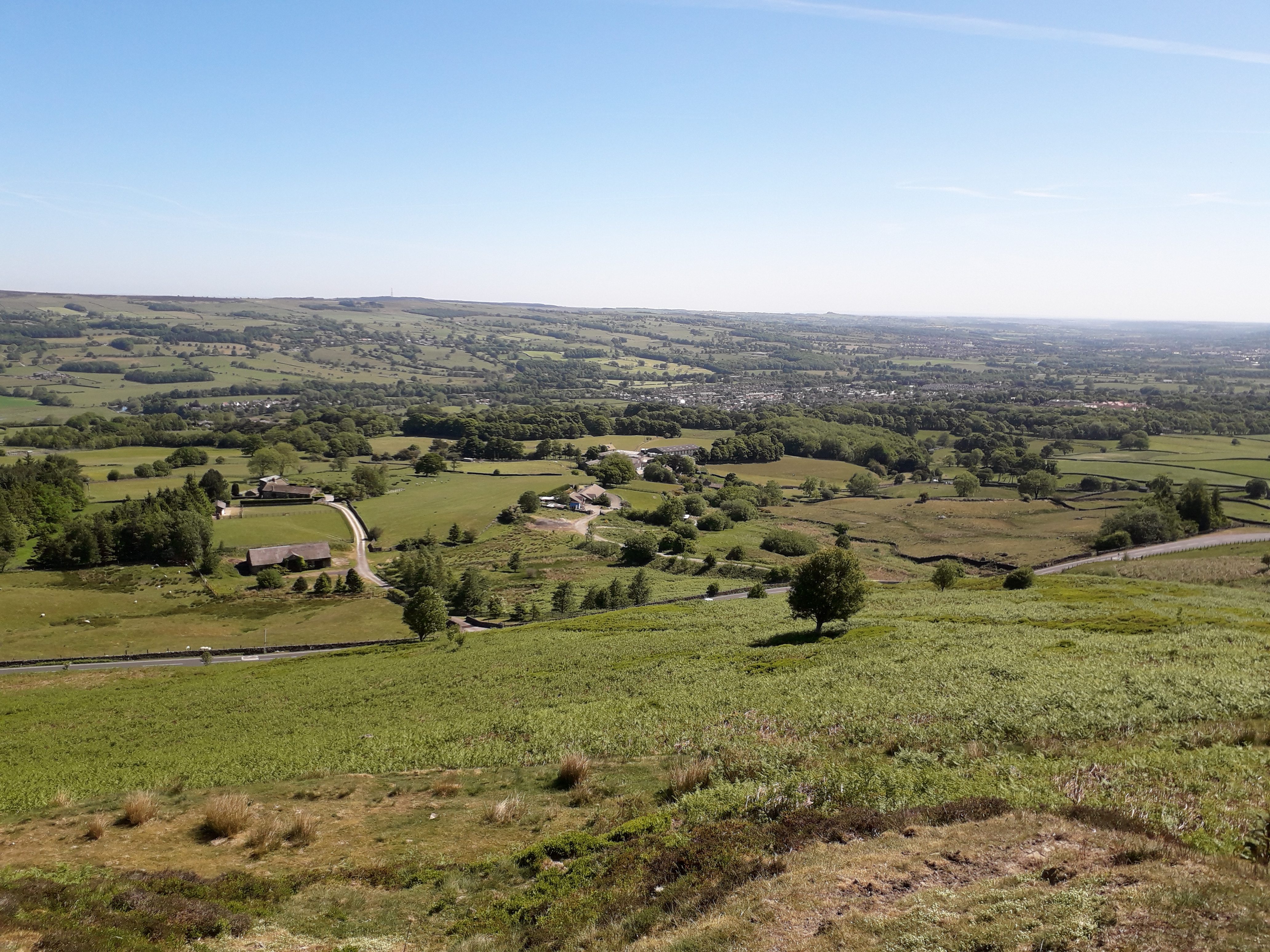
Bradford is defined by its narrow, glacial river valleys, principally the Wharfe and the Aire, and the Worth which flows into the Aire at Keighley. Between these are the high ground of Rombalds Moor, Keighley Moor and Haworth Moor. Most of these uplands also fall within the South Pennines Special Area of Conservation, and there are proposals for a South Pennines Regional Park to plug the gap in the landscape protection of the uplands between the Peak District and the Yorkshire Dales National Parks.
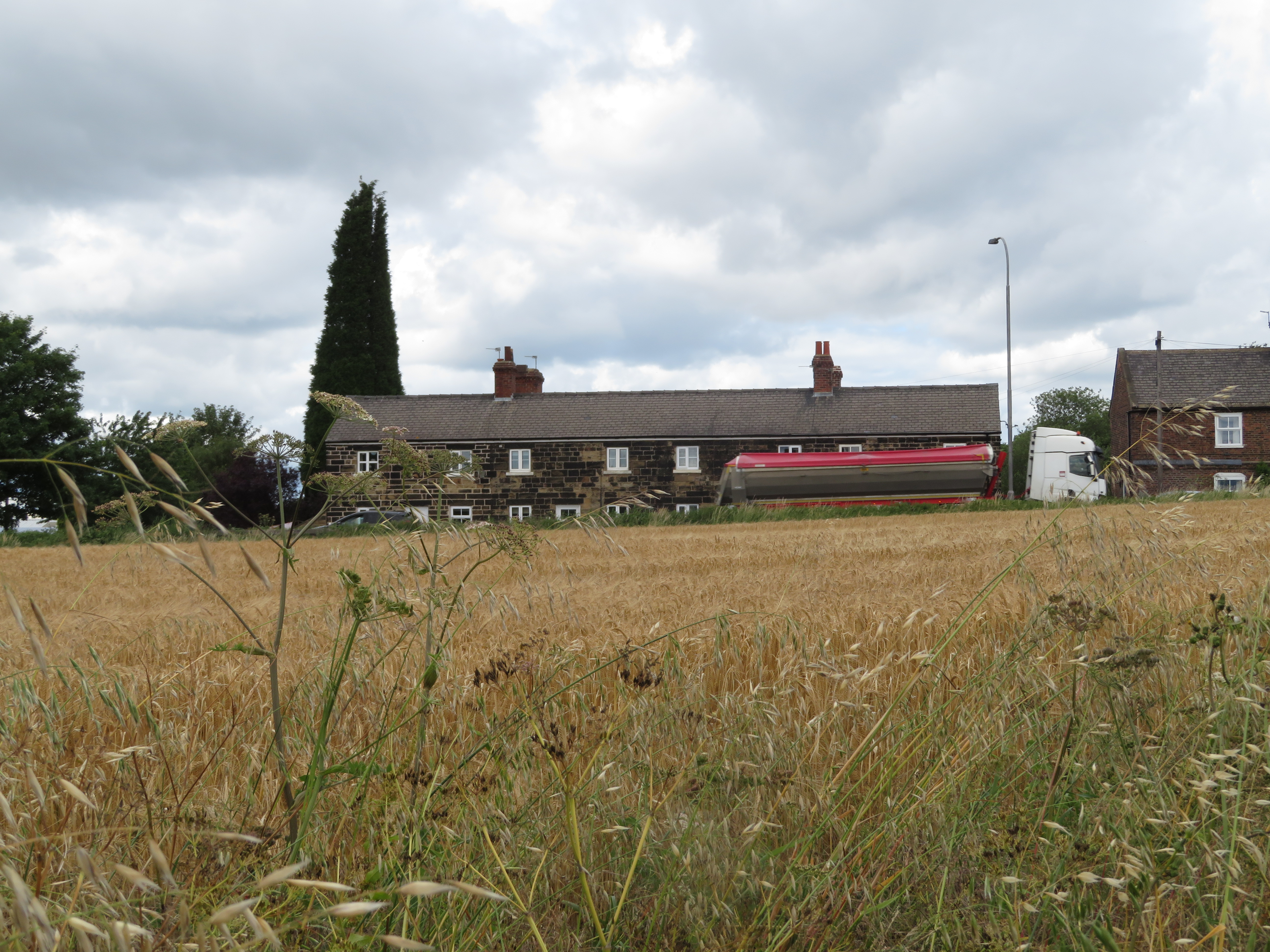
This distinctive geography creates a chain of settlements along the valleys running down into Bradford city. Some of these, such as Silsden, have seen rapid expansion through new development in the 2000s, and others, such as Burley-in-Wharfedale, are also under increasing development pressure. Saltaire is a World Heritage Site, perhaps one of the finest examples of what good urban planning can be. But all these settlements are plagued by road congestion, and there are significant flood risk areas, too, so the climate challenge is of great concern to the area.
Bradford’s amazing cultural and ethnic diversity greatly contributes to its character. However, different communities experience very different social well-being, reflected in their different connections to the countryside and unequal vulnerability to environmental problems such as air pollution and access to green space.
Areas to the south and east of Bradford city are also under great environmental pressure from motorways, major roads and associated development corridors, with the proposed South-East Bradford link road being a particular concern for CPRE, as it will carve through the remaining open, Green Belt-protected stretch of landscape between Bradford and Leeds.
Bradford local plan timeline
Link to Bradford Local Plan online consultation portal↗
August 2025
The Regulation 19 is still awaited. CPRE West Yorkshire will review the plan to see any proposed changes to planning policies, allocated housing and employment sites and land designations for open space.
July 2022
The next stage (regulation 19) is expected later this year. CPRE West Yorkshire will review the plan to see any proposed changes to planning policies, allocated housing and employment sites and land designations for open space.
March 2021
The most recent round of consultation on the Bradford local plan concluded at the end of March 2021.
Bradford local plan consultation
March 2021
The previous consultation on the Bradford local plan concluded at the end of March 2021.
We reviewed the plans and formulated our response which was informed by the local knowledge of the network of community groups, interested individuals, and Parish and Town Councils members about proposed site allocations and other significant local developments that will impact their local area.
We have gathered our consultation response into a report which covers our review of what works and what falls short in the proposals.
Read our Bradford Local Plan Consultation Report hereOur thought processes, which explore our response to the Bradford local plan consultation, are available in the blog posts below. They include our manifesto for a ‘Reasonable Alternative’↗ to the proposals which engage with climate, housing densities and inequalities.
We would love to hear from more people across the district and to develop a network of contacts to work with through the later stages of the consultation process. Please get in touch with us through Twitter (@cprewestyorks) or our contact form↗.
Bradford Local Plan Consultation March 2021

West Yorkshire
CPRE Policy Analysis – SP1 to SP8 Bradford Draft Local Plan March 2021
West Yorkshire
‘Reasonable Alternative’ vision for the Bradford Local Plan – The Detail
Bradford planning links
Information on Bradford’s emerging local plan:
Search for current planning applications